
Furuno TimeZero Charts
Quantity:
Furuno TimeZero Charts
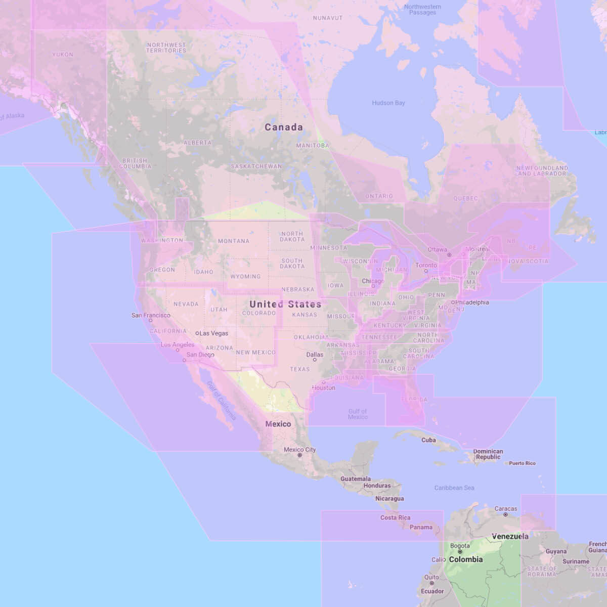
Choosing the right Furuno TimeZero Chart format is the starting point for good navigation Marine Raster Charts are geo-referenced, digital images of the Official Hydrographic Office and select private navigational charts. True colour copies of the official paper chart of the hydrographic services, marine raster charts are the most reliable, allowing you to display on screen the official paper charts that you were accustomed to using. Marine Vector Charts utilize a vector database to build the chart display. This data is stored in layers and records every nautical chart feature such as coastlines, buoys, lights, etc. These features and their attributes such as position, color, size, shape, and others are stored in a database allowing them to be selectively displayed and interrogated. In many areas of the globe where there’s no hydrographic service, vector maps are often the only reference. Whatever chart format you use, updates are essential for safe navigation. Electronic charts are updated at least once a year. What is the best chart format: Vector or Raster? Vector charts or raster charts? The choice is complex and raises a real debate between two schools. Hard to say which format is better than the other, and in the end the choice often lies on user habits or personal preference. Traditional paper chart users tend to like Raster Charts, since visually these are an exact reproduction of the paper chart. Vector Charts are stored as a database and drawn on the computer or plotter screen by the software, thus the display of a Vector Chart does not resemble a paper chart. Which chart formats are compatible with my software? The more versatile your software is, the easier it will be to find the best and most accurate charts for your specific area. TIMEZERO’s main advantage is its compatibility with a wide range of marine chart formats:- Marine Raster charts: MapMedia mm3d Raster
- Marine Vector charts: Datacore by Navionics, CMAP & HOs S-57
- TZ Professional v3 is now compatible with the official S57 formats.
